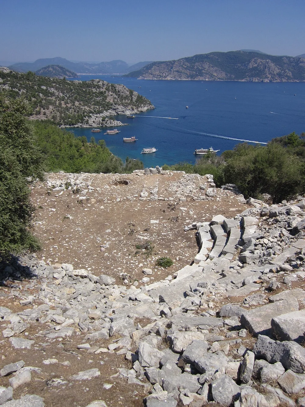
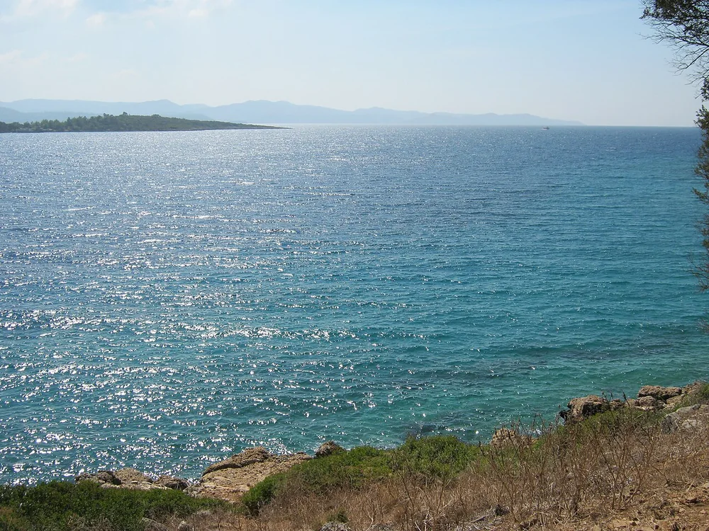
Understand the protected marine area
Boncuk is more than a swimming destination. The official species-monitoring information identifies a sensitive area in the northern part of the bay associated with sandbar sharks. Plan around habitat protection rather than the expectation of an exciting close encounter.
Activities including navigation, fishing, diving and anchoring are restricted in the marked core area described by the authority. Do not assume every part of the water is available for recreation. Current buoys, signs and official directions determine permitted use.
A species record is not a tourism promise
Scientific monitoring and recreational swimming are different activities. A documented species does not mean entering the protected section to observe it is permitted or appropriate. Avoid feeding, following animals or approaching restricted water for photographs.
Families can use the visit to discuss why some marine spaces are left undisturbed instead of promising children a shark sighting. Reading conservation information and observing the coast from a distance can be worthwhile.
Confirm the shore arrangements
Ask which visitor entrance and shoreline section are currently in use, where swimming boundaries lie and whether parking and facility charges are separate. Check additional conditions for photography, paddling or boating. This guide does not redraw the protected boundary from old coordinates.
Compare the Karacasöğüt guide and regional ecology guide while keeping each place’s rules distinct.
Frequently asked questions
Can I dive everywhere in Boncuk Bay?
No. Official information identifies restrictions in the marked northern core area.
Will I see sharks on a visit?
There is no guarantee. Scientific records are not sightseeing promises or access permission.
How do I establish current boundaries?
Use the responsible authority’s information together with current buoys and local warning signs.